
 UK
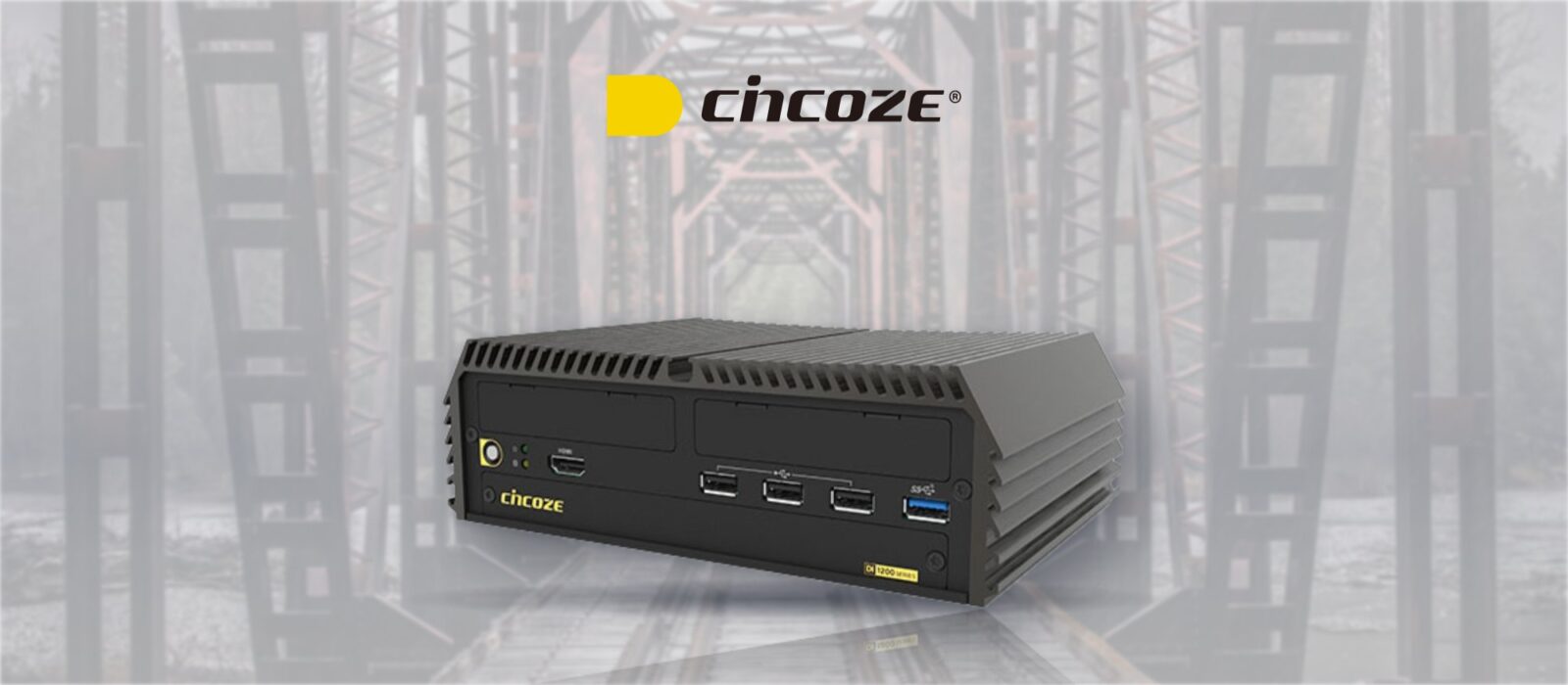
Rugged Railway Computers Transform Track Inspection with Augmented Railway Corridors
Across the USA, hi-rail vehicles and specialist inspectors patrol thousands of miles of track every couple of weeks. It is dangerous, costly work, and with a high cognitive load on the people doing it and limited access to the network, defects can be missed.
Our customer developed an alternative: automated railway track inspection using forward-facing high-resolution cameras, rugged onboard computing and a machine learning platform. We supplied the rugged railway computers, first Cincoze’s DI-1100 and now its successor, the DI-1200.
Building a digital twin of the rail corridor
Every run along the line adds to a live picture of the corridor's condition.
-
Capture
Cameras and LiDARForward-facing high-resolution cameras and LiDAR record the track and corridor as the vehicle moves.
-
Upload
CellularThe onboard computer sends the captured data over cellular, with dual SIMs for network redundancy.
-
Analyse
Deep learningConvolutional neural networks in the cloud detect, classify and grade assets, defects and safety incursions in the corridor.
Because the analysis runs in a cloud-based management system, the onboard computer did not need a GPU: its job is capturing, positioning and sending the data reliably. The result is a digital twin of the network that can be compared run by run.
What the onboard computer needed
The customer's requirements for a computer living on the vehicle.
-
01
High performance, compact
Enough processing for capture and edge tasks in a small rugged chassis.
-
02
Dual network ports
To connect a switch hosting the cameras and LiDAR sensors.
-
03
GNSS and IMU expansion
Onboard slots for positioning cards.
-
04
Front-accessible SIMs
For cellular uploads and easy SIM changes.
-
05
Shock and vibration
A rugged design for daily use on rail vehicles.
-
06
Wide temperature and power
Extended temperature operation and a DC input covering 24 V and 48 V systems.
The platform today: Cincoze DI‑1200
The newer-generation rugged embedded PC the customer migrated to, with 12th Gen Intel Core i7, i5 or i3 processors.
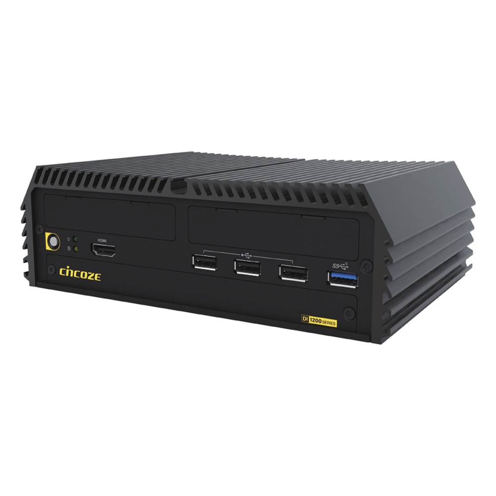
10-Core Intel Core i7-1265UE Rugged Embedded PC with Dual 2.5GbE and M.2 5G Expansion
- CPU
- Intel Core 12th Gen (Alder Lake)
- Ethernet
- 2× 2.5GbE
- Temp
- −20 to +70 °C
Intel Core i5-1245UE (Alder Lake) Rugged Embedded PC with Dual 2.5GbE, DDR5 and MIL-STD-810H
- CPU
- Intel Core 12th Gen (Alder Lake)
- Ethernet
- 2× 2.5GbE
- Temp
- −20 to +70 °C
Intel 12th Gen Core i3-1215UE Rugged Embedded PC with Dual 2.5GbE and Hot-Swap SSD Bay
- CPU
- Intel Core 12th Gen (Alder Lake)
- Ethernet
- 2× 2.5GbE
- Temp
- −20 to +70 °C
What the DI-1200 brings
- 0112th Gen Intel Core
- Up to a ten-core Core i7-1265UE at 15 W, a big step up in processing within the same fanless power budget.
- 02Dual 2.5GbE
- Two 2.5GbE ports on Intel I226 controllers for faster links to the camera and LiDAR switch.
- 03DDR5 memory
- Up to 32 GB of DDR5 for handling high-resolution video streams.
- 04M.2 5G with dual SIM
- An M.2 B-key socket with two SIM slots takes 5G or GNSS, plus an M.2 E-key socket for Wi-Fi.
- 05CMI and CFM expansion
- Modules add extra LAN, 10GbE, M12, CAN FD, serial, DIO, PoE or ignition sensing as the system grows.
- 06MIL-STD-810H and E-Mark
- Shock and vibration tested, with a 9–48 V DC input and operation from −20 to 70 °C.
Where it started: the DI-1100
The first systems ran on Cincoze’s DI-1100, with an 8th Gen Intel Core i7-8665UE at 15 W and 32 GB of DDR4. It packed dual Gigabit Ethernet, six USB ports and two RS-232/422/485 ports into a fanless chassis rated from −40 to 70 °C, with MIL-STD-810G, E-Mark and EN 50121-3-2 railway EMC compliance. Two full-size Mini PCIe sockets took the cellular, GNSS and IMU cards, alongside dual front-access SIM slots.
Its modular CMI and CFM bays let the customer add I/O such as 10GbE over RJ45 or locking M12, PoE and ignition sensing during development, protecting the investment. Moving to the DI-1200 kept that modular approach while adding 12th Gen performance, 2.5GbE and 5G. Our EN 50155 summary explains the rolling stock standards, including EN 50121 for EMC.
The original Cincoze DI‑1100
8th Gen Intel Core rugged fanless PCs with CMI and CFM expansion.
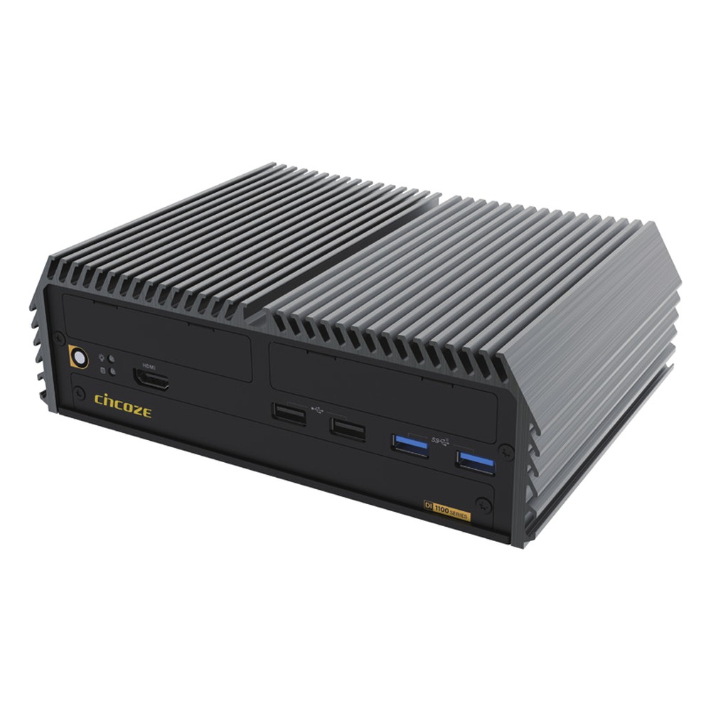
Intel Core i7-8665UE Rugged Fanless PC with E-Mark, Dual SIM and -40 to 70 °C
- CPU
- Intel Core 8th Gen (Whiskey Lake)
- Ethernet
- 2× GbE
- Temp
- −40 to +70 °C
Quad-Core Intel Core i5-8365UE Rugged Fanless PC with 9 to 48 V DC Input and Extended Temperature
- CPU
- Intel Core 8th Gen (Whiskey Lake)
- Ethernet
- 2× GbE
- Temp
- −40 to +70 °C
Intel Whiskey Lake Core i3-8145UE Rugged Fanless PC with CMI Expansion and -40 to 70 °C
- CPU
- Intel Core 8th Gen (Whiskey Lake)
- Ethernet
- 2× GbE
- Temp
- −40 to +70 °C
What automated inspection delivers
Machines capture and grade the corridor, so people can focus on fixing what is found.
-
Outcome 01
Safer inspection
Fewer manual patrols on live track.
-
Outcome 02
Consistent results
AI grading reduces the errors that come with high cognitive load.
-
Outcome 03
A living digital twin
Every run updates the corridor model and shows change over time.
-
Outcome 04
A platform that grows
Modular I/O and the move to the DI-1200 keep the system ready for future sensors.
Railway inspection FAQs
-
What Is a Digital Twin?
A digital twin is a virtual model of a physical asset, system or place that is kept up to date with real data from sensors, cameras and scans. Engineers use it to see the current condition of the real thing, spot changes over time, and test decisions on the model before acting on the asset itself.
-
What Is an IMU?
An IMU (inertial measurement unit) is a sensor that measures acceleration and rotation, usually with accelerometers and gyroscopes on three axes, and often a magnetometer. From those readings a system can work out its orientation and movement. Combined with GNSS, an IMU keeps positioning accurate and continuous, even when satellite signals drop out.
-
GNSS vs GPS: What Is the Difference?
GPS is one satellite navigation system, run by the United States. GNSS (global navigation satellite system) is the umbrella term for all of them, including GPS, Galileo, GLONASS and BeiDou. A multi-constellation GNSS receiver sees more satellites at once, which improves accuracy and keeps a fix where the view of the sky is limited.
-
What Is a Hi-Rail Vehicle?
A hi-rail vehicle is a road vehicle, such as a pickup truck or van, fitted with retractable flanged guide wheels so it can drive on both roads and railway track. Railways use them for inspection and maintenance because crews can drive to an access point and go straight onto the line. In the UK they are usually called road-rail vehicles.
-
What Is LiDAR?
LiDAR (light detection and ranging) is a sensor that measures distance by firing pulses of laser light and timing how long each one takes to bounce back. Repeating this many thousands of times a second builds a 3D point cloud of the surroundings, which machines use to see shapes, distances and movement in real time.
-
What Is RTK GPS?
RTK (Real-Time Kinematic) GPS is a satellite positioning technique that uses correction data from a nearby base station or correction network to improve accuracy from a few metres to around one to two centimetres. It is used to guide autonomous tractors, drones, construction machines and survey equipment.
Automating inspection on the railway?
Tell us about your application and a member of our team will get right back to you.